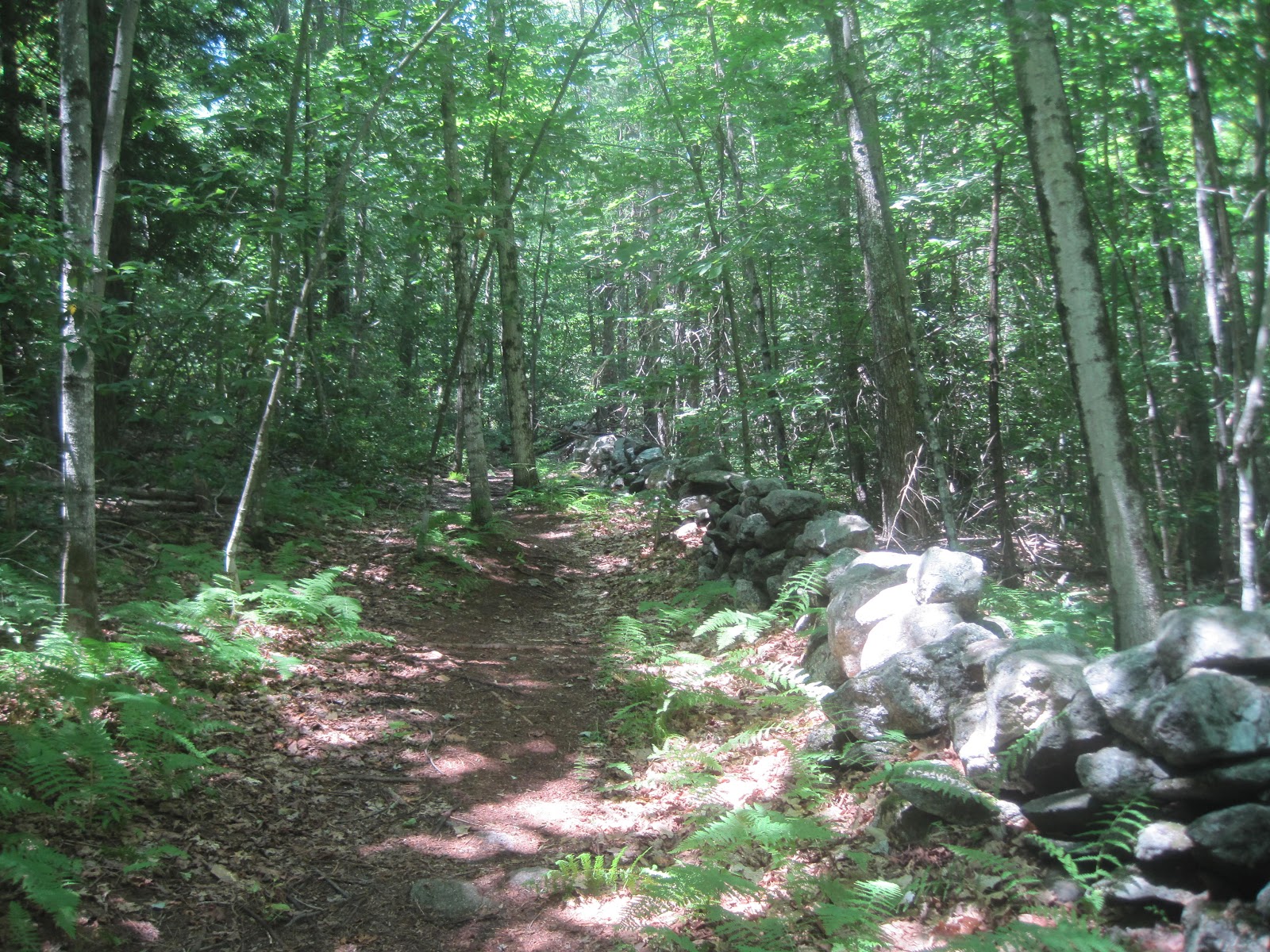
Ashfield Trail.
Here are a few photos of the Ashfield Trail between Ashfield Road and West Road. This section of the trail is lined with beautiful stoned walls dating back to the eighteenth century. There is also remains of an old Sugar House and other structures. At the end of the trail at West Road is the Brier Hill Cemetery which was established in 1828.


Summit Trail
This trail takes you up to the Pony Mountain summit, along the way is Chapel Ledge, a vertical rock face that's a 100 feet high. There are some beautiful panoramic views of the Highlands and the foothills of the Berkshires from the Pony Mountain summit.


Chapel Falls
Located on the east side of Ashfield Road. There's also a hiking trail that runs along the falls although i did not explore this area, perhaps on another hike. This is a great place to cool off in the summer, there were many people here taking advantage of the cool running water of the falls and the many deep pools of water.


